
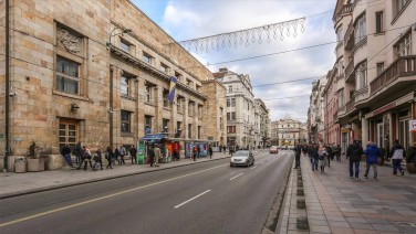
Gazi Husrev-Begova
Gazi Husrev-begova
Type: Street
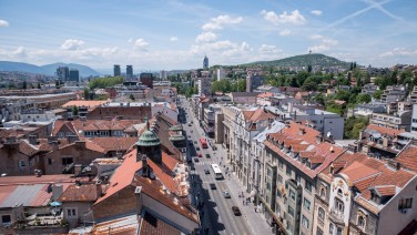
During the Ottoman period, the road that would later become Maršala Tita was divided into several parts.
The part from Kralja Tvrtka to Koševski Potok was called Gornja Hiseta (the upper part), known locally as Podmagribija, after Magribija Mosque and its surrounding mahala.
The section known as Gazilerski Put ran from Koševski Potok to Veliki Park and was named after Ajni Dede and Šemsi Dede, two dervishes and warriors whose tomb was where the Health Agency building is now.
Žabljak or Hadži Idrisova Mahala was between Veliki Park and Dalmatinska, and the area around Vječna Vatra was called Bare. The names Žabljak (žaba = frog) and Bare (bare = pond) denote a swampy area, and the stream, Buka, flowed down Dalmatinska.
After Austro-Hungarian occupation, the section from Koševski Potok to Baščaršija was called Ćemaluša, but was renamed Franza Ferdinanda following the Sarajevo Assassination.
A new street, Aleksandra I Karađorđevića, was laid out in January 1919, between Marijin Dvor and Baščaršija. From 1941 to 1945 it was called Ante Pavelića, after the Ustaša leader. On April 6, 1945 it was named after Josip Broz Tito, President and Field Marshal of the SFR Yugoslavia.
In 1993 the street was bisected: The part from Marijin Dvor to Vječna Vatra remained Maršala Tita and the part that continues on to Baščaršija became Mula Mustafe Bašeskije.


