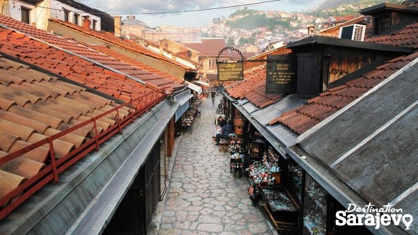
Baščaršija Mosque
Baščaršijski trg
Sarajevo is a city that has had a turbulent past and in a little more than a century it was part of eight different states: the Ottoman Empire, the Austro-Hungarian Empire; the State of Slovenes, Croats and Serbs; the Kingdom of Slovenes, Croats and Serbs; the Independent State of Croatia, the Socialist Federal Republic of Yugoslavia and an independent Bosnia and Herzegovina. More
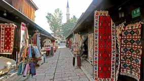
Street
Trgovke, Sarajevo | Map
Street Trgovke is the name of the u-shaped street that has a small square in the center. More
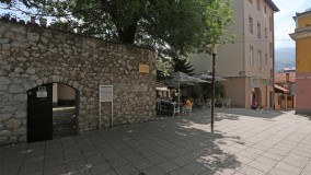
Street/Square
Velika Avlija, Sarajevo | Map
Street/Square Velika Avlija is located on the northwestern end of Sarajevo’s old čaršija, not far from the spot where Ottoman Sarajevo and Austro-Hungarian Sarajevo – East and West – meet. More
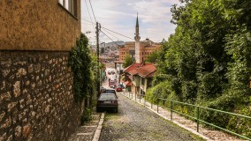
Street
Veliki Alifakovac, Sarajevo | Map
Street Veliki Alifakovac runs from Šeher-Ćehajina Bridge up to a point beyond Alifakovac Cemetery, whose tombs serve as a Sarajevo symbol. More
Street
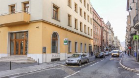
Valtera Perića, Sarajevo | Map
Street Located in Marijin Dvor, this street runs from Maršala Tita (in the west) to Hamze Hume (in the east) More
Street
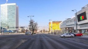
Zmaja od Bosne, Sarajevo | Map
Street Zmaja od Bosne is a long street that runs from Maršala Tita and Hiseta (in Marijin Dvor) in the east, to Bulevar Meše Selimovića and the neighborhood of Dolac Malta in the west. More
