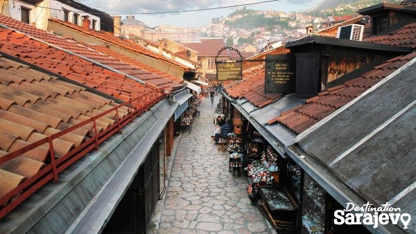
Sarajevo is a city that has had a turbulent past and in a little more than a century it was part of eight different states: the Ottoman Empire, the Austro-Hungarian Empire; the State of Slovenes, Croats and Serbs; the Kingdom of Slovenes, Croats and Serbs; the Independent State of Croatia, the Socialist Federal Republic of Yugoslavia and an independent Bosnia and Herzegovina. More
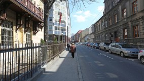
Street
Hamdije Kreševljakovića, Sarajevo | Map
Street Hamdije Kreševljakovića runs along the left bank of the Miljacka, from Skenderija to Trg Austrije. It probably dates back to the early 16th century, when it ran through three neighborhoods. More
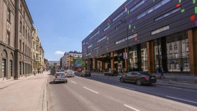
Street
Hiseta, Sarajevo | Map
Street Hiseta is in Marijin Dvor and joins Zmaja od Bosne in the west and Obala Kulina Bana in the east. It passes SCC and the old electric power station. More
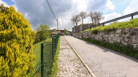
Street
Jekovac, Sarajevo | Map
Street Jekovac starts at the southeastern end of Kovači Cemetery and runs northeast, past Mevlevi Tekke, Žuta Tabija and Iplidžik Sinanova Mosque, ending at the junction of Širokac and Vratnik Mejdan. More
Street
Koševo, Sarajevo | Map
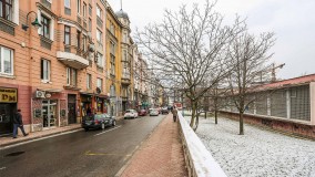
Street Koševo runs south to north, from Maršala Tita St. to the intersection with Bolnička and Patriotske Lige. More
Street
Kovači, Sarajevo | Map
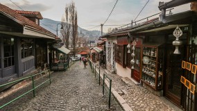
Street Kovači St. runs from Čekrekčijina Mosque to the Kovači “plaza”, where it meets three streets: Jekovac, Ploča and Širokac. More
Street
Kranjčevićeva, Sarajevo | Map
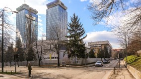
Street This street runs east to west, from Maršala Tita to the crossing with Halida Kajtaza and Put Života. At the crossing with Tešanjska, one part veers south and then back to the east, where it ends as a cul de sac. More
Street
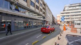
Kujundžiluk, Sarajevo | Map
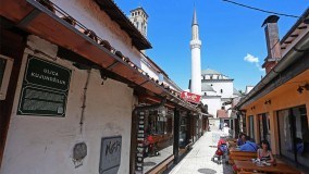
Street This short street joins Gazi Husrevbegova (Zlatarska) St. in the west with Mudželiti Veliki St. in the east and was laid out in the first half of the 16th century as part of Gazi Husrev Bey’s Mahala. More
Street
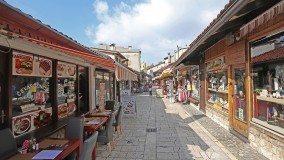
Kulovića, Sarajevo | Map
Street Kulovića Street is located in the center of Sarajevo. Running south to north, it passes along the western side of the National Theater, intersects Branilaca Sarajeva St. and connects two larger roads, Obala Kulina Bana and Mar&sca... More
Street
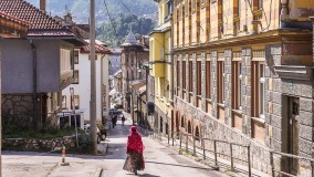
Kunduržiluk, Sarajevo | Map
Street Kundurdžiluk Street starts at the pharmacy on Zelenih Beretki St. and extends east all the way to Abadžiluk St., running along the southern side of Brusa Bezistan. More
Street
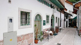
Logavina, Sarajevo | Map
Street Logavina runs south to north, uphill from Mula Mustafe Bašeskije to Vrbanjuša. More
Street
Luledžina, Sarajevo | Map
Street Luledžina Street begins somewhere in the middle of Kazandžiluk St., then runs north to form a small square before branching off further. More
Street
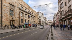
Maršala Tita, Sarajevo | Map
Street During the Ottoman period, the road that would later become Maršala Tita was divided into several parts. More
Street
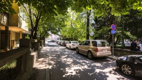
Mehmeda Spahe, Sarajevo | Map
Street Mehmeda Spahe is in the center of Sarajevo, and runs parallel to Maršala Tita, from Kaptol St. (east) to Trampina St. (west). More
Street
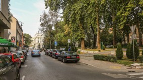
Mis Irbina, Sarajevo | Map
Street Mis Irbina runs from the Sarajevo Canton building and Reisa Džemaludina Čauševića St. (West), to BBI Center and Radićeva St. (East). More
Street
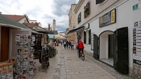
Mudželiti Veliki, Sarajevo | Map
Street Mudželiti Veliki Street runs along the western wall of the courtyard of Gazi Husrev Bey’s Mosque, from Kundurdžiluk St. in the south to Sarači St. in the north. More
