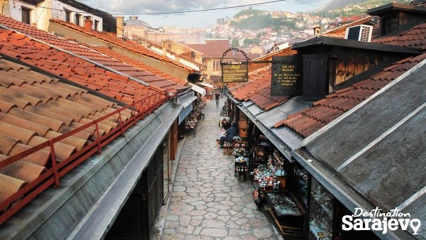
War Childhood Museum
Logavina 32
Sarajevo is a city that has had a turbulent past and in a little more than a century it was part of eight different states: the Ottoman Empire, the Austro-Hungarian Empire; the State of Slovenes, Croats and Serbs; the Kingdom of Slovenes, Croats and Serbs; the Independent State of Croatia, the Socialist Federal Republic of Yugoslavia and an independent Bosnia and Herzegovina. More
Street
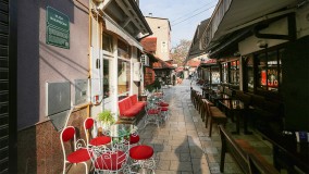
Bazardžani, Sarajevo | Map
Street Bazardžani Street runs south to north, from Obala Kulina Bana to Ćurčiluk Veliki and encounters Kundurdžiluk and Ćurčiluk Mali along the way. More
Street
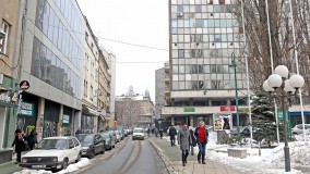
Branilaca Sarajeva, Sarajevo | Map
Street Branilaca Sarajeva runs west to east, from Radićeva to Trg Oslobođenje - Alija Izetbegović. More
Street
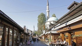
Bravadžiluk, Sarajevo | Map
Street There are two streets in Baščaršija that have “Bravadžiluk” in their names. The longer one, Bravadžiluk Veliki, runs west to east, from Baščaršija Square and along the southern wall of the c... More
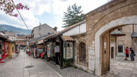
Street
Čizmedžiluk, Sarajevo | Map
Street Čizmedžiluk Street runs along the eastern side of the courtyard of Gazi Husrev Bey’s Mosque. More
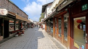
Street
Ulica Ćurčiluk, Sarajevo | Map
Street There are two streets in Sarajevo’s old Čaršija that make use of the name, “Ćurčiluk” – Ćurčiluk Veliki and Ćurčiluk Mali. Both are located to the south of Bey’s Mosque and run parallel to one... More
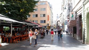
Street
Ferhadija, Sarajevo | Map
Street Ferhadija runs west to east, from Vječna Vatra and the point where it meets Titova St., all the way to Gazi Husrev-Begova St., where it then turns into Sarači St. and continues east. More
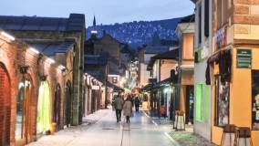
Street
Gazi Husrev-begova, Sarajevo | Map
Street Gazi Husrev-Begova Street runs from Zelenih Beretki St. in the south to Mula Mustafe Bašeskije St. in the north. More
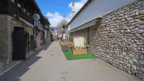
Street
Halači, Sarajevo | Map
Street Halači Street runs north-south, from the southern end of Baščaršija Square toward Tabaci St. and the Miljacka River, and encounters Bravadžiluk St. on its northeastern corner. More
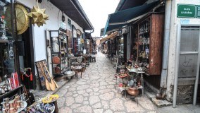
Street
Kazandžiluk, Sarajevo | Map
Street Kazandžiluk begins at the eastern end of Baščaršija Street (Baščaršija Square), just a few meters north of Baščaršija Mosque, and extends about a hundred paces further to the east, where i... More
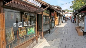
Street
Kazazi, Sarajevo | Map
Street Kazazi Street, which is only a few dozen meters long, is located in the heart of Sarajevo’s old čaršija and connects Sarači St. (to the north) with Ćurčiluk Veliki St. (to the south). More
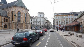
Street
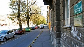
Mula Mustafe Bašeskije, Sarajevo | Map
Street Mula Mustafe Bašeskije runs from Vječna Vatra to Baščaršija Square. More
Street
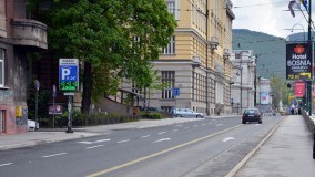
Obala Isa-bega Ishakovića, Sarajevo | Map
Street The street, Obala Isa-bega Ishakovića, runs along the left bank (obala) of the Miljacka River, stretching from Šeher-Ćehajina Ćuprija to Latinska Ćuprija. More
Street
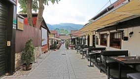
Obala Kulina bana, Sarajevo | Map
Street Obala Kulina Bana runs west to east and upstream, or parallel to the right bank of the Miljacka River, from Skenderija Bridge to Šeher-Ćehajina Ćuprija. More
Street
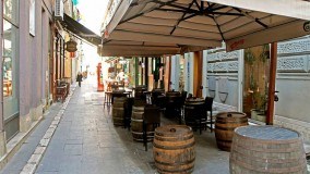
Prote Bakovića, Sarajevo | Map
Street Prote Bakovića is located west of Baščaršija Street (Baščaršija Square) and runs north to south, from Mula Mustafe Bašeskije to Sarači, and encounters just a few meters of Ćulhan Street before it... More
Street
Muvekita, Sarajevo | Map
Street Saliha Hadžihuseinovića Muvekita St. is the name of the narrow street which connects the main walking streets in the center of Sarajevo – Ferhadija and Zelenih Beretki. More
