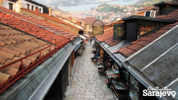
Mula Mustafe Bašeskije
Mula Mustafe Bašeskije
Sarajevo is a city that has had a turbulent past and in a little more than a century it was part of eight different states: the Ottoman Empire, the Austro-Hungarian Empire; the State of Slovenes, Croats and Serbs; the Kingdom of Slovenes, Croats and Serbs; the Independent State of Croatia, the Socialist Federal Republic of Yugoslavia and an independent Bosnia and Herzegovina. More
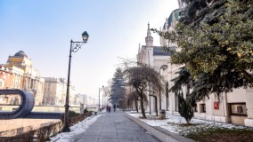
Street
Obala Maka Dizdara, Sarajevo | Map
Street Obala Maka Dizdara runs along the left bank of the Miljacka, from Skenderija and Eiffel Bridge (west) to Čobanija St. and Čobanija Bridge (east). More
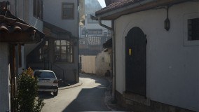
Street
Oprkanj, Sarajevo | Map
Street Oprkanj Street is located east of Baščaršija Square and runs south-north, from Bravadžiluk St. to Telali St., and its upper, northern extent comes into contact with the eastern end of Luledžina St. More
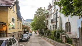
Street
Petrakijina, Sarajevo | Map
Street Petrakijina St. runs east-west from the Music Academy and Pehlivanuša St. until it reaches the top of the Niže Banje steps, where it turns to run north until Mehmed-Paše Sokolovića St. More
Street
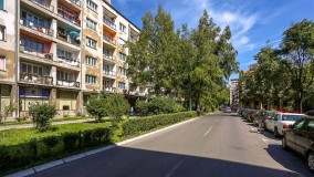
Radićeva, Sarajevo | Map
Street Radićeva is located in the center of Sarajevo, running south to north, from Obala Kulina Bana to Maršala Tita and crossing Branilaca Sarajeva St. and Mis Irbina St. near BBI Center. More
Street
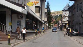
Sarajevo | Map
Street Safvet-bega Bašagića Street runs from Baščaršija Square all the way to Grlića Brdo. More
Street
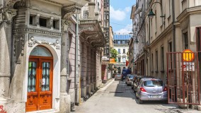
Sime Milutinovića, Sarajevo | Map
Street Sime Milutinovića Sarajlije is a short street in the old part of town, running from Obala Kulina Bana (south) to Zelenih Beretki (north). More
Street
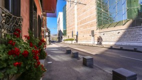
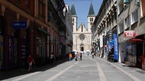
Skenderija, Sarajevo | Map
Street Skenderija runs west-east, from where it meets Terezije at KSC Skenderija, to where it joins Hamdije Kreševljakovića at the Faculty of Political Science. More
Street
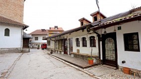
Štrosmajerova, Sarajevo | Map
Street Štrosmajerova Street runs north-south, from Zelenih Beretki St. to the spot where Ferhadija St. and Trg Fra Grge Martića meet in front of the Cathedral of Jesus’ Heart. More
Street
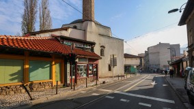
Tabaci, Sarajevo | Map
Street Tabaci Street runs parallel to Obala Kulina Bana St., from Abadžiluk St. all the way to the parking area next to Vijećnica and the intersection where Bravadžiluk St. runs into Brodac St. More
Street
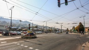
Sarajevo | Map
Street Telali runs west to east, from the point where Mula Mustafe Bašeskije and Baščaršija Square meet, and then on to Vijećnica. More
Street
Terezija, Sarajevo | Map
Street Terezija runs along the left bank of the Miljacka, from the Suada and Olga Bridge and the junction with Zagrebačka St. (west), to KSC Skenderija and the intersection with Skenderija and Hamdije Kreševljakovića (northeast). More
Street
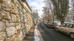
Tina Ujevića, Sarajevo | Map
Street Tina Ujevića runs from Džidžikovac St. in the west, to Mejtaš (actually Buka St.) in the east. More
Street/Square
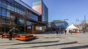
Trg djece Sarajeva, Sarajevo | Map
Street/Square Trg Djece Sarajeva (Children of Sarajevo Square) is in the city center and is bordered by Mis Irbina St. (south), Radićeva St. (east) and Veliki Park (north). More
Square
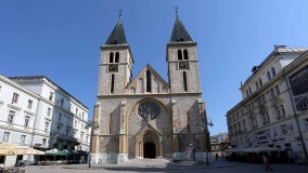
Trg fra Grge Martića, Sarajevo | Map
Square The area around the Cathedral of Jesus' Sacred Heart, between Mula Mustafe Bašeskije (to the north) and Ferhadija (to the south), is called Trg Fra Grge Martića. More
Square
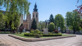
Trg oslobođenja - Alija Izetbegović, Sarajevo | Map
Square This square is framed by Ferhadija St. (north), Zelenih Beretkih St. (south), Muhameda Kantardžića St. (west), as well as the Economics Faculty building and the Congregational Church of the Holy Mother (east). More
