
Prote Bakovića
Prote Bakovića
Type: Street
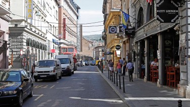
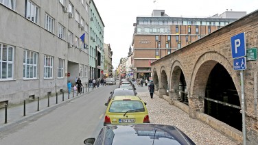
Zelenih Beretki St. runs west to east, from Trg Oslobođenja- Alija Izetbegović to Kundurdžiluk St.
It then turns south at the spot where the Sarajevo Assassination took place and runs into Obala Kulina Bana. It is one of Sarajevo’s oldest streets and its eastern extent was laid out in the 15th century.
The part that runs between Kulovića and Štrosmajerova was initially called Put Kuluk-Česma, after the fountain that used to be where Central Hotel is now located. The part that extended from Štrosmajerova to Kundurdžiluk was known as Sabljarska Čaršija and later called Kulukčija (after the swordmakers who worked here).
The section that runs south, toward the Museum of Sarajevo 1878–1918, was called Franačka Čaršija, after Sarajevo’s Catholics, who were living here.
Up until the end of Ottoman rule, the section that ran from Kulovića to Latinska Ćuprija was called Galata St., after a neighborhood in Istanbul.
Right before Austro-Hungarian occupation, the section from Ćemaluša to Latinska Ćuprija took the name Tašlihanska St., after the 16th-century stone inn, the remains of which may be seen next to Gazi Husrev Bey’s Bezistan.
During Austro-Hungarian rule, the section between Latinska Ćuprija and BBI Center was named after Czar Franz Joseph. During the time of the Kingdom of Yugoslavia it was called Kralja Petra St.; while Sarajevo was under the jurisdiction of NDH it was called Ulica Broj 1 and then in 1946 it was called Jugoslovenske Narodne Armije.
In 1993, the street was divided into two halves: Branilaca Sarajeva (the western extent) and Zelenih Beretki (the eastern extent). The latter refers to the volunteer army unit that formed in 1991 to defend Sarajevo and BiH.


